THE BIRTHPLACE OF HURRICANES

Birthplace of Hurricanes
July 26, 2006:
"Winds will grow soon to storms in Africa", laments Irish singer Enya in her song,
Scientists have long known that hurricanes that lash the Atlantic coasts of North and Central America are born in storm systems off the west coast of northern Africa. In an ironic twist, these wettest of storms are driven by weather over one of Earth's driest of places, the Sahara (the name means desert in Arabic).
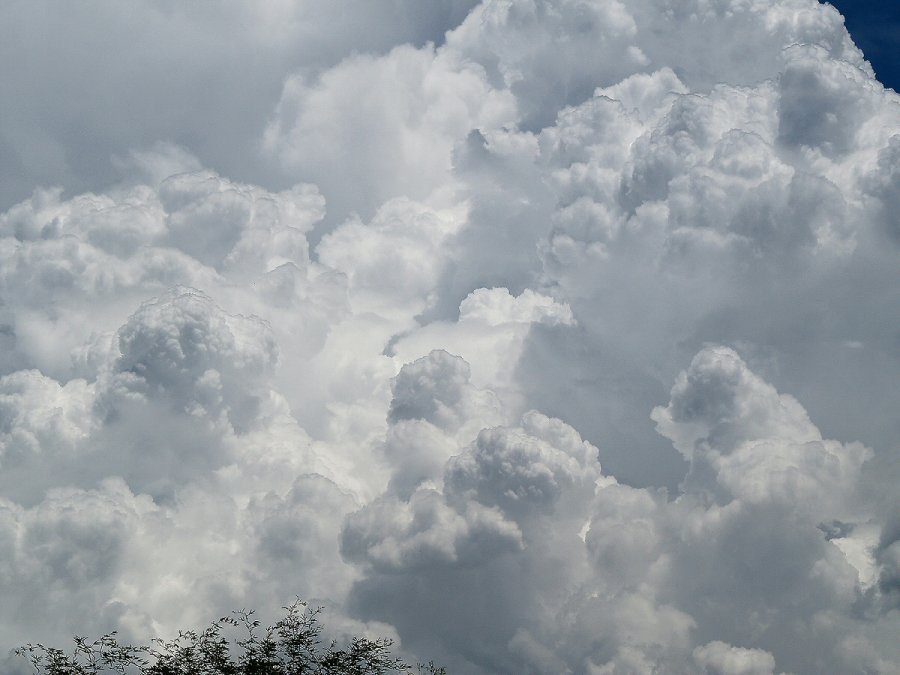
First image: Thunderclouds over western Africa.
To learn the details of what happens, NASA and university researchers are flying to the west coast of Africa for an international campaign called the African Monsoon Multidisciplinary Analysis, or AMMA.
The NASA portion of the campaign is called NAMMA.
"We are going to observe the transition of thunderstorms off the coast of Africa into hurricanes that we get in the U.S.," explains Robbie Hood of the Marshall Space Flight Center, a member of the NAMMA science team. "This is an active hurricane genesis region."
The scientists will operate during the month of Aug. 15 to Sept. 15 2006, from the Cape Verde Islands, a cluster of 18 volcanic islands in the Atlantic about 300 miles off the west coast of Africa.
Dr. Ramesh Kakar of the Earth Science Division, Science Mission Directorate, at NASA headquarters is the program manager.
Hurricanes are massive, rotating heat engines powered by the warmth of tropical waters. Category 5 hurricanes can pack winds of 150 mph or more. Hood explained that many of these powerhouses originate with combinations of thunderstorms off Africa. But not all thunderstorms lead to hurricanes.
Why not? There's more to the story than warm water:
Another ingredient is Sahara dust storms. Dry desert air blowing westward can overrun and weaken Atlantic storm systems. Dust, on the other hand, can serve as nucleation points for water vapor, causing rain. This interplay between ocean and desert is not fully understood.
To probe deeper, NAMMA will use NASA's DC-8 Airborne Laboratory. This modified jetliner has been used in NASA's two Convection and Moisture Experiments (CAMEX-3 and -4) conducted in 1998 and 2001. It is equipped with weather instruments to measure winds, water vapor, moisture, atmospheric pressure, temperatures, and the detailed physics of cloud formation and development.
Second image: NASA's DC-8 aircraft is no stranger to bad weather.
NASA will also use weather radar located at both Dakar, Senegal and Praia, Cape Verde, and instruments on NASA satellites such as the Tropical Rainfall Monitoring Mission (TRMM), CloudSat and CALIPSO.
The United Kingdom, France and other European nations will operate aircraft and surface instruments out of Dakar, Senegal, on the west coast of Africa. The National Oceanic and Atmospheric Administration's Hurricane Research Division will fly aircraft out of Barbados to measure hurricanes as they approach Caribbean nations, the United States, Mexico, and Central America.
During the mission, a Web-based real time mission monitor, developed by Marshall Space Flight Center, will permit scientists to track the progress of the experiment from anywhere on the globe using a standard internet connection.
Hood anticipates collecting lots of data. "Our goal is to use the results of this experiment to improve precipitation and hurricane forecasting technology for the future."
posted by Aria Mozart at 6:44 AM
![]()


0 Comments:
Post a Comment
<< Home